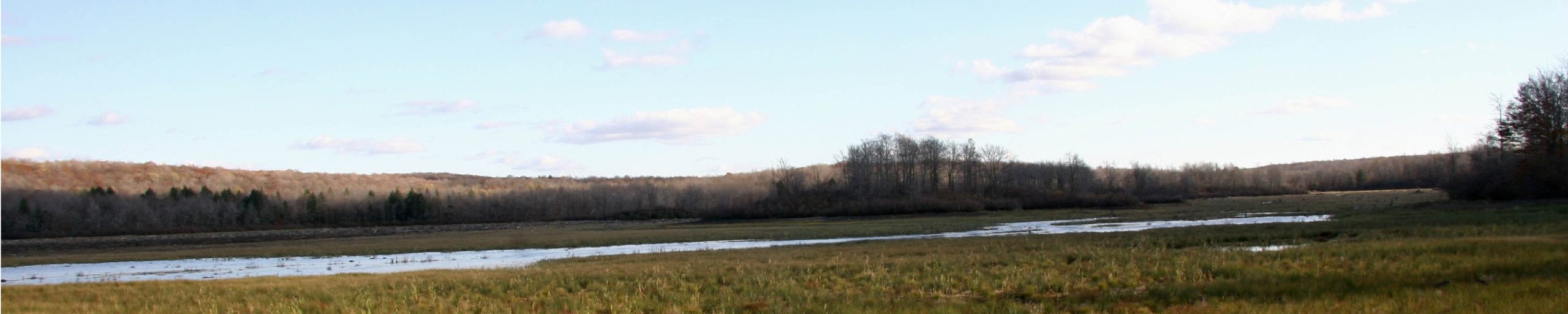
Lehigh Watershed Update
In addition to our own water quality monitoring efforts over the years, the USGS and PaDEP (Pennsylvania Department of Environmental Protection) have worked together for more than 20 years to sample and analyze water quality samples collected from streams around Pennsylvania.
Through these resources, you can view water quality data about your favorite section of the Lehigh or a tributary stream:
DEP’s 2024 Water Quality Report, based on their sampling efforts, is now available here.
Link to the interactive map to see individual river and tributary tract data in our local watershed.

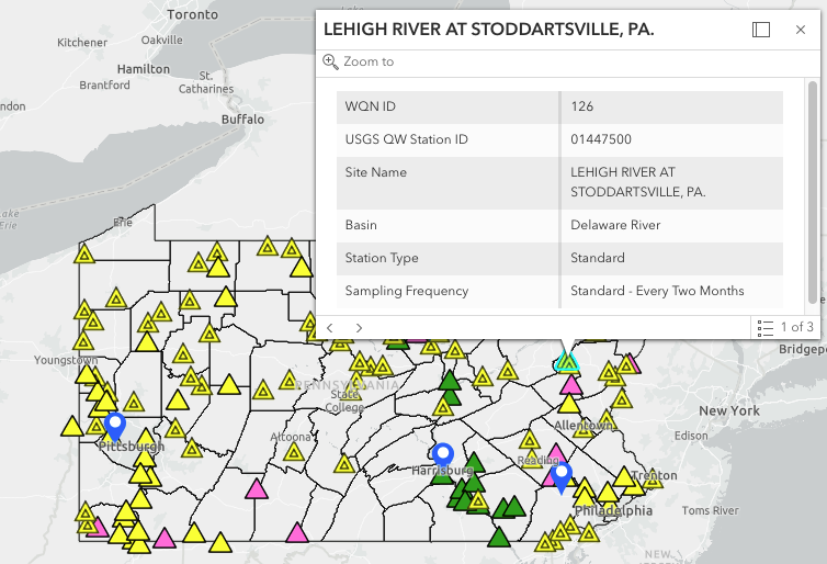
The USGS stream gage station located just upstream from the Stoddardsville, Route 115 bridge is part of the extensive USGS Water Quality Network (WQN). This site is sampled every other month for a total of 6 samples a year. For more information and USGS sampling locations throughout PA and details on the Stoddardsville station, link to USGS PA Surface Water Quality Network and be sure to scroll down to the interactive map.
Rich Troscianecki, North Pocono CARE President, has been networking with the Monroe County Conservation District and several other Watershed organizations in the region. As part of Monroe County’s ongoing Water Quality initiative, the county does water sampling and macro surveys on about 30 sites. Rich was able to suggest adding the Lehigh River to their sampling list in future years and will be following up with more news on this valuable partnership.
Please reach out if you are interested in learning about and getting more involved with ongoing water monitoring in the Lehigh Watershed.
Thanks to Rich and Carl Rohr for contributing these links and insights.
